Grace Street view north showing both Inner
and Outer Drive during construction period - Inner Drive (fromer Sheridan Road) to the left.
These two photos shows landfill towards the lake and an indication that the Inner Drive was landfilled 180 feet west into the lake in the late 19th century - once a bluff overlooking the lake prior to the 20th century.
To the left of this photo is the former location of the Lake View Hotel that was first established in 1854. Leveling the Inner and Outer Drives
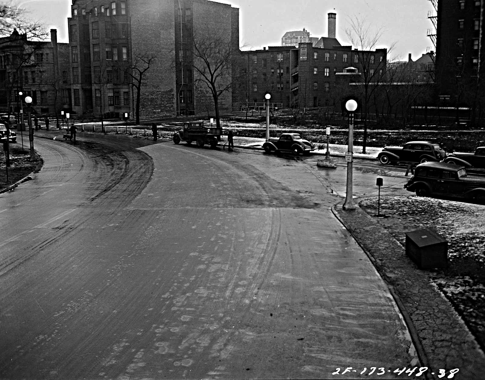
These two photos show what was once called Byron Place that feed into the west towards Sheridan Road. Byron Place now part of Sheridan Road west helps form an island around what is called today
The shed is still in use for garden supplies
Traffic headng north and south from Byron Place
- the view is south highlighting Inner Drive (Sheridan Road) to the right and the Outer Drive to the left
The photo below is the entrance to Stratford Place (3450 N) - view east showing a portion of Belmont Harbor. Temple Sholom is on the left and out of frame.
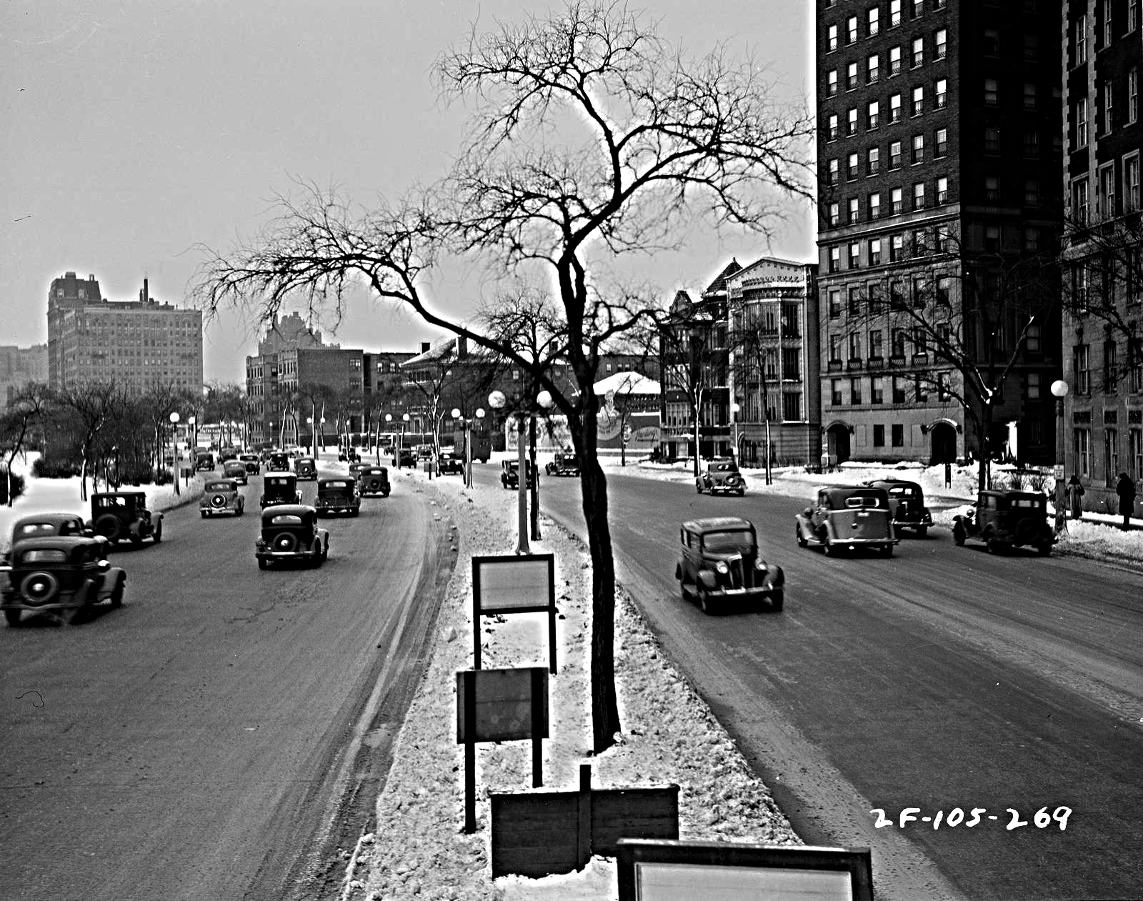
These next couple of photos
are from the Melrose/Inner Drive - former Sheridan Road area. The photo below shows a car heading towards the Outer Drive from the Inner Drive. On the right traffic heading northboand on the Outer Drive - the view is north.
Traffic heading south from Inner Drive (Sheridan Road) to the Outer Drive - land island to the left (Sheridan Monunment location)
The land island to the right (Sheridan Monument location) with traffic heading northbound on the Outer Drive - right of photo. The Inner Drive on the left of photo - Melrose Street to the left
Cars to the right on Inner LSD (Sheridan Road) heading northboand. Traffic on the left heading north and south on the Outer Drive - view of photo is south
and below
traffic heading south towards the Outer Drive toward the land island and the Stout Mansion in the background
Traffic on the right heading towards the Outer Drive and to the left traffic heading north and south (view north) on the Inner Drive (Sheridan Road)

View north showing traffic heading to the Outer Drive with the land island (Sheridan Monument location). The Inner Drive (Sheridan Road) on the left.
and below
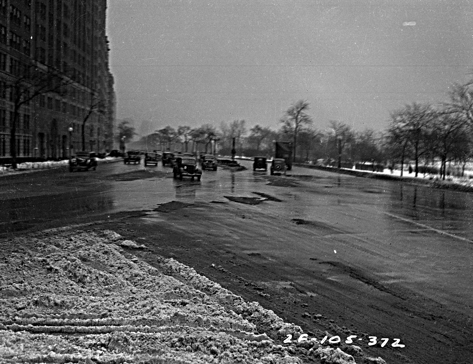
View south with traffic heading northbound showing the Sheridan Monument on the right. This view is before the Belmont Overpass was constructed. The Belmont Avenue bathing beach is on the left of photo. Construction of bridge's completion was in 1942.
Belmont Avenue - view west before the construction of the Belmont Overpass - Lochly Apartments to the right and Hotel Belmont (Reside by Belmont) to the left Irving Park Boulevard (Road) & Inner Drive
with Immaculata (Catholic) High School
to the right of this photo
1928 Sanborn Fire Insurance Map
showing the high school in brown and the Inner & Outer Drives
Then & Now
inner drive into Diversey Parkway 1940
photos - Art Institute of Chicago
A Google view of the area
the inner drive heading into Diversey Parkway wesrt(outer drive to the left)
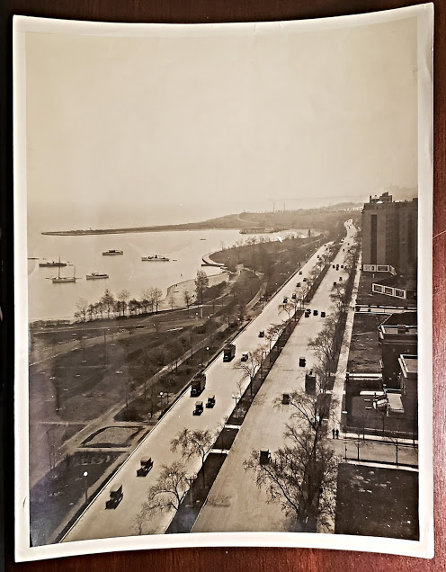
aerial view of traffic heading west on Diversey Parkway from the inner drive with the outer drive along the lakefront
Rush Hour Traffic
in 1947
most of all the Outer Drive traffic is heading north
and the Inner Drive is the far right of photo
photo - Chicago Tribune Archives via Larry Lund
1951 photo below - Historic Images
view north at Melrose Street
Art Work
by Zabeth Selover via Esty
a north view of both drives
This art is now part of my collection
the home at the bottom is the old Lehmann residence
on Waveland & Inner Drive and at the time of artist's rendition. The building was called
The Waveland Convalescent Home
3662 N Lake Shore Drive
sectional views:
section 1
section 2
section 3
section 4

The Outer Drive at
Irving Park Road
north view towards Montrose Harbor
Description from this postcard reads:
'A bird's-eye view of Lincoln Park extension recently beautified by the Chicago Park District. The Outer Drive passes through here with frequent turn-outs leading to the beautiful Waveland golf course, Montrose Yacht Harbor, and great Montrose - Wilson bathing beach.' - from Card Cow
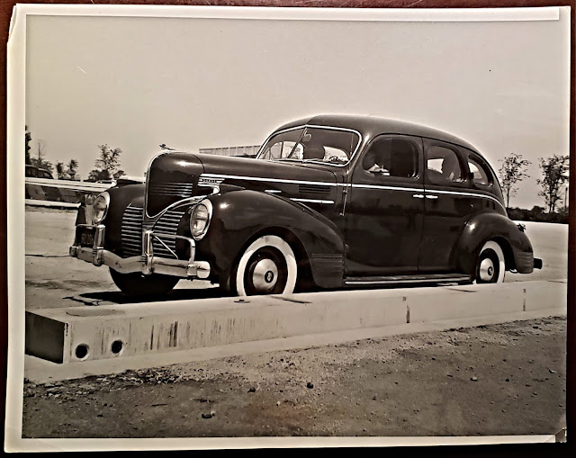
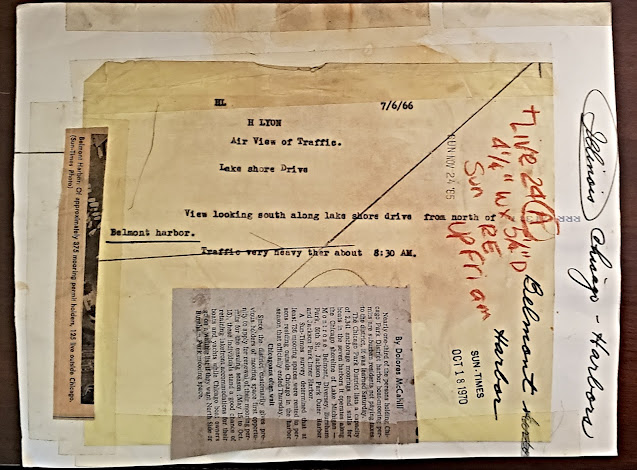
A 1966 Press Photo
View South
part of my collection
this photo shows the remains the Nike Missile Sight of the 1950's to the left of the photo


.jpg)


.jpg)


.png)


.jpg)


.jpg)


.jpg)


 photo above - Connecting the Windy City


No comments:
Post a Comment
Email me at lvhistorical@gmail.com